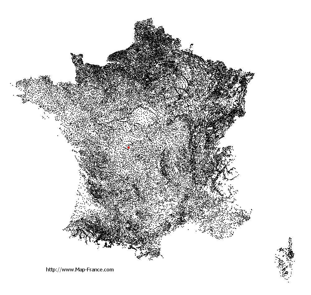
La Châtre-Langlin on the relief France map in Lambert 93 coordinates
|

See the map of La Châtre-Langlin in full screen (1000 x 949)
|
At left, here is the location of La Châtre-Langlin on the relief France map in Lambert 93 coordinates.
Here are the altitudes of La Châtre-Langlin :
- Town hall altitude of La Châtre-Langlin is 252 meters
- Minimum altitude of La Châtre-Langlin is 173 meters
- Maximum altitude of La Châtre-Langlin is 302 meters
- Medium altitude of La Châtre-Langlin is 238 meters
Here are the altitudes of Châteauroux, prefecture of Indre department:
- Town hall altitude of Châteauroux is 143 meters
- Minimum altitude of Châteauroux is 132 meters
- Maximum altitude of Châteauroux is 164 meters
- Medium altitude of Châteauroux is 148 meters
Here are the altitudes of the french biggest cities:
Paris : 33 meters
Marseille : 20 meters
Lyon : 237 meters
Toulouse : 146 meters
Nice : 10 meters
Nantes : 20 meters
Strasbourg : 144 meters
Montpellier : 35 meters
Bordeaux : 16 meters
Lille : 20 meters
Rennes : 35 meters
Reims : 83 meters
Click here for the terrain map of La Châtre-Langlin in full screen:
Relief map of La Châtre-Langlin
|
This relief map of La Châtre-Langlin is reusable and modifiable by making a link to this page of the Map-France.com website or by using the given code :
|
Terrain base map of La Châtre-Langlin
|

See the terrain base map of La Châtre-Langlin in full screen (1000 x 949)
|
Small relief base map of La Châtre-Langlin

|
This base map of La Châtre-Langlin is reusable and modifiable by making a link to this page of the Map-France.com website or by using the given code :
|
Map of La Châtre-Langlin with regions and prefectures
|
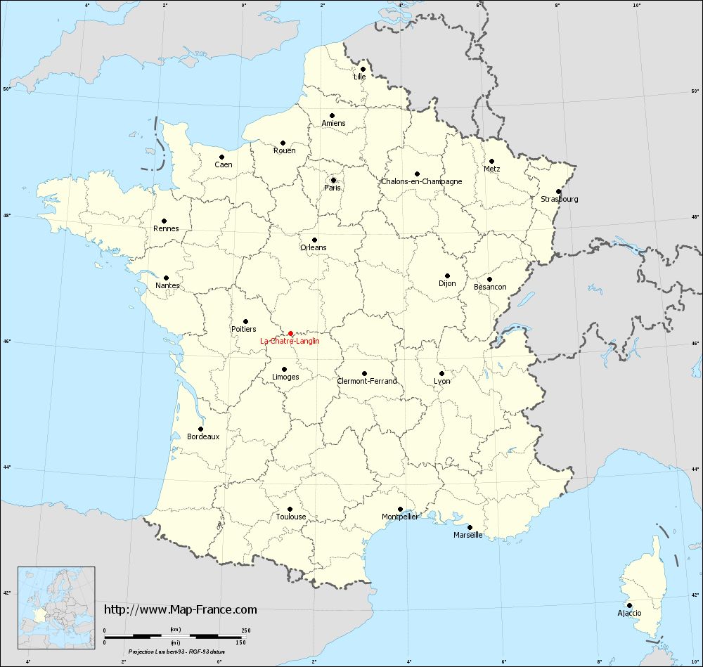
View the map of La Châtre-Langlin in full screen (1000 x 949)
|
You will find the location of La Châtre-Langlin on the map of France of regions in Lambert 93 coordinates. The town of La Châtre-Langlin is located in the department of Indre of the french region Centre.
Geographical sexagesimal coordinates / GPS (WGS84):
Latitude: 46° 24' 30'' North
Longitude: 01° 23' 21'' East
Geographical decimal coordinates :
Latitude: 46.408 degrees (46.408° North)
Longitude: 1.39 degrees (1.39° East)
Lambert 93 coordinates :
X: 5 763 hectometers
Y: 65 911 hectometers
Lambert 2 coordinates :
X: 5 272 hectometers
Y: 21 569 hectometers
Below, the geographical coordinates of Châteauroux, prefecture of the Indre department:
Geographical sexagesimal coordinates / GPS (WGS84):
Latitude: 46° 48' 35'' North
Longitude: 01° 41' 25'' East
Geographical decimal coordinates :
Latitude: 46.811 degrees (46.811° North)
Longitude: 1.699 degrees (1.699° East)
Lambert 93 coordinates :
X: 6 001 hectometers
Y: 66 352 hectometers
Lambert 2 coordinates :
X: 5 507 hectometers
Y: 22 013 hectometers
|
This map of La Châtre-Langlin is reusable and modifiable by making a link to this page of the Map-France.com website or by using the given code :
|
Map of La Châtre-Langlin with departments and prefectures
|
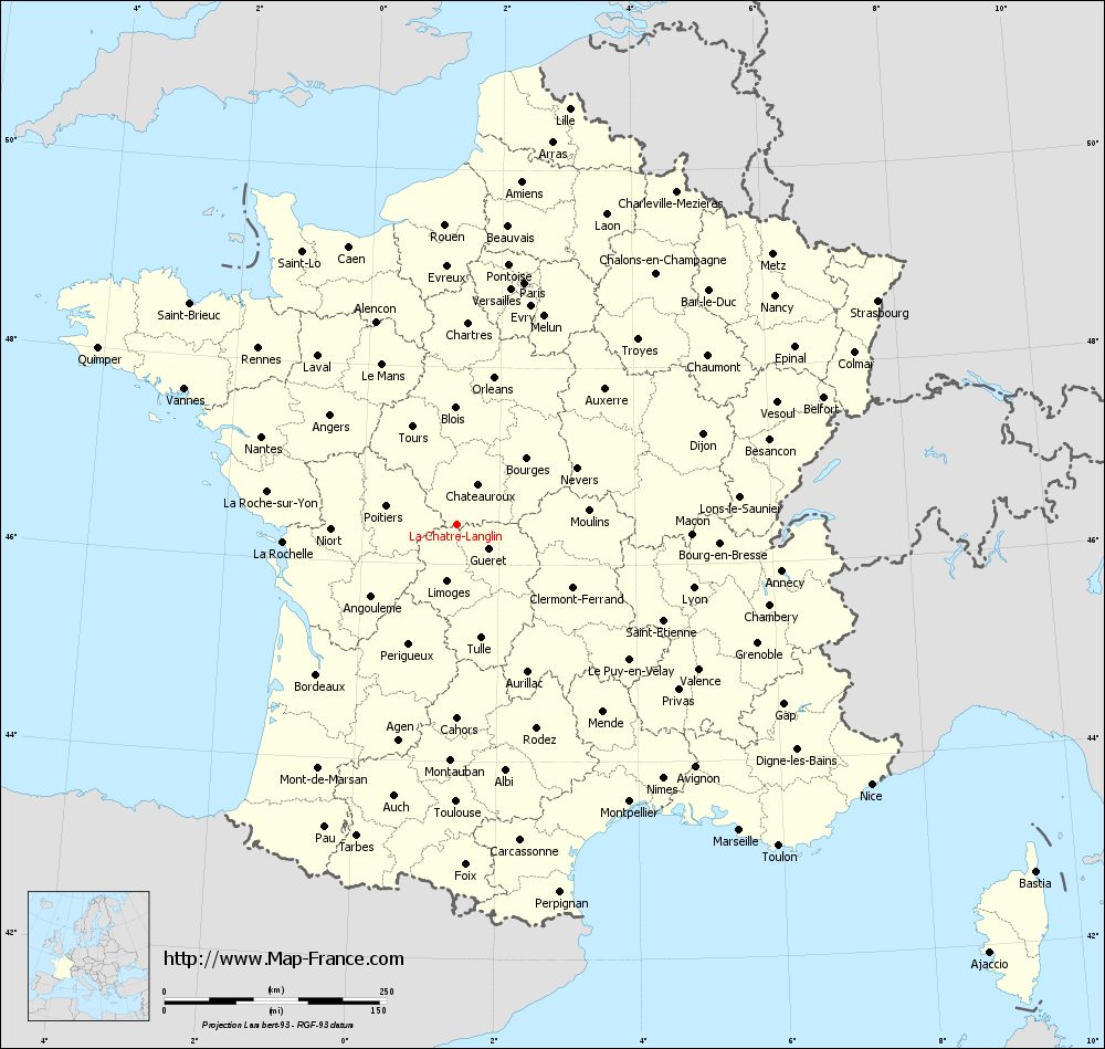
Voir la carte of La Châtre-Langlin en grand format (1000 x 949)
|
Here is the localization of La Châtre-Langlin on the France map of departments in Lambert 93 coordinates. The city of La Châtre-Langlin is shown on the map by a red point.
The town of La Châtre-Langlin is located in the department of Indre of the french region Centre.
The latitude of La Châtre-Langlin is 46.408 degrees North.
The longitude of La Châtre-Langlin is 1.39 degrees East.
Here the distance between La Châtre-Langlin and the biggest cities of France:
Distances are calculated as the crow flies (orthodromic distance)
Distance between La Châtre-Langlin and Paris : 281.75 kilometers
Distance between La Châtre-Langlin and Marseille : 468.06 kilometers
Distance between La Châtre-Langlin and Lyon : 275.06 kilometers
Distance between La Châtre-Langlin and Toulouse : 312.03 kilometers
Distance between La Châtre-Langlin and Nice : 549.83 kilometers
Distance between La Châtre-Langlin and Nantes : 241.27 kilometers
Distance between La Châtre-Langlin and Strasbourg : 535.35 kilometers
Distance between La Châtre-Langlin and Montpellier : 367.12 kilometers
Distance between La Châtre-Langlin and Bordeaux : 231.37 kilometers
Distance between La Châtre-Langlin and Lille : 484.4 kilometers
Distance between La Châtre-Langlin and Rennes : 298.72 kilometers
Distance between La Châtre-Langlin and Reims : 372.89 kilometers
Clic here to see the map of La Châtre-Langlin in full screen:
La Châtre-Langlin on the map of french departments
|
This administrative map of La Châtre-Langlin is reusable and modifiable by making a link to this page of the Map-France.com website or by using the given code :
|
Administrative base maps of La Châtre-Langlin
|

See the administrative base map of La Châtre-Langlin in full screen (1000 x 949)
|
Small administrative base map of La Châtre-Langlin
|
This base map administrative of La Châtre-Langlin is reusable and modifiable by making a link to this page of the Map-France.com website or by using the given code :
|
 French Version : http://www.cartesfrance.fr